
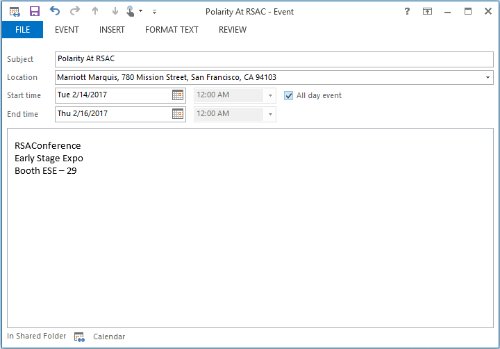
There are over 100 million physical property addresses in the United States. When I don’t know where one is located (which is most of them) I used to copy and paste it into Google Maps to take a look at a map. Take for instance this calendar invite for RSA Conference which we are sponsoring next week as part of the Early Stage Expo:
 I used to copy and past the location information into Google every time I was going some place new.
Now, after connecting Polarity to Google Maps, Polarity recognizes the property address and automatically overlays an interactive map.

It does not matter what application I am using, if there is an address on the screen, I get a map. Here is another example, maybe I am checking out a restaurant for the first time and they have their address on their website:


Here is a short video showing the above examples:
P.S. If you find yourself in Austin, TX on a Friday, I highly recommend the cured, roasted, slow-smoked, and caramelized pork chop lunch special.